Since my boys were 3 years old, this US Foam Puzzle has been a favorite go-to of theirs. At 1st it was just fun for them to put together, but as they got older it became a great learning tool. They are now familiar with most US states, their shape, general location, as well as some facts we’ve learned along the way.
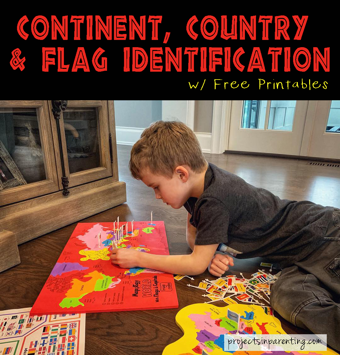
Jacob has been asking about the difference between city, state, country and continent lately, so I wanted to come up with a hands-on way for him to understand the bigger picture. Since they enjoyed the other foam puzzle so much, I decided to purchase this World Map Puzzle with Flags & Capitals. Understandably due to size constraints, it doesn’t include EVERY flag in the world. If it did, I think that would be too overwhelming anyway. The puzzle has a total of 65 flags (based mainly on country size) which seems to be the perfect start.

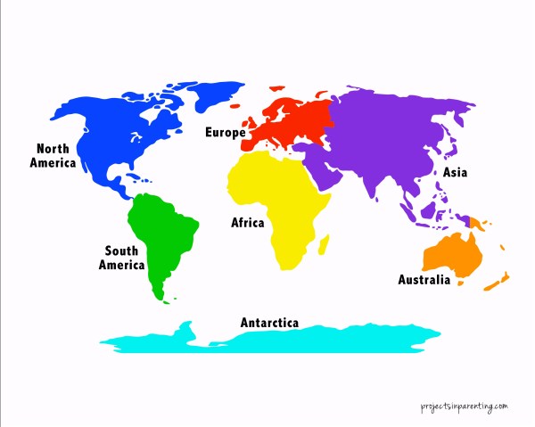
The foam puzzle, flags and map provided are great. Unfortunately there is no ‘key’ to know where each flag goes. I was able to figure it out using the original sticker sheet, but both Jacob and Evan were at a complete loss putting the puzzle together without my help. To give them the independence of easily figuring it out on their own, I created a color-coded diagram showing all of the 65 flags and the corresponding country by continent. I also made a color-coordinating continent map for easy reference.
Click on image below for FREE Printable:

Once I gave them my diagrams (other than some adorably incorrect pronunciations) – easy peasy. Both Jacob and Evan were able to correctly identify 65 flags, place them in their corresponding country, and understand which continent they belonged to as well!
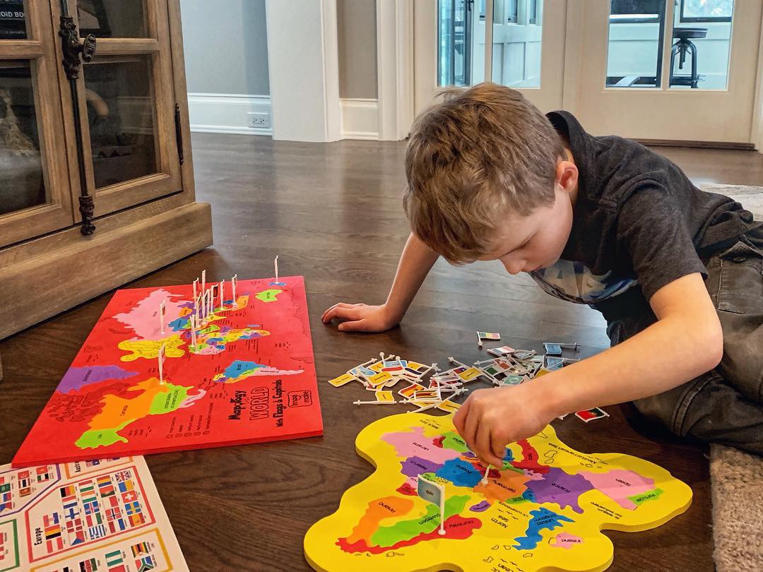
I have no doubt this puzzle will be another one of their favorites – learning more as they grow and discovering new things each time they complete it. 🙂
Related: Color-Coded Beginner Piano Music Book
Related: Constellation Sticker Craft
“Without geography, you are nowhere.”